ERIN PROPERTY INTELLIGENCE · SEPTEMBER 14, 2026
A map is a clue, not clearance: how to research an Erin property before you offer
Wellington County's upgraded public map can help buyers and sellers find the right questions. Zoning, permits, access and legal certainty still need address-specific verification.
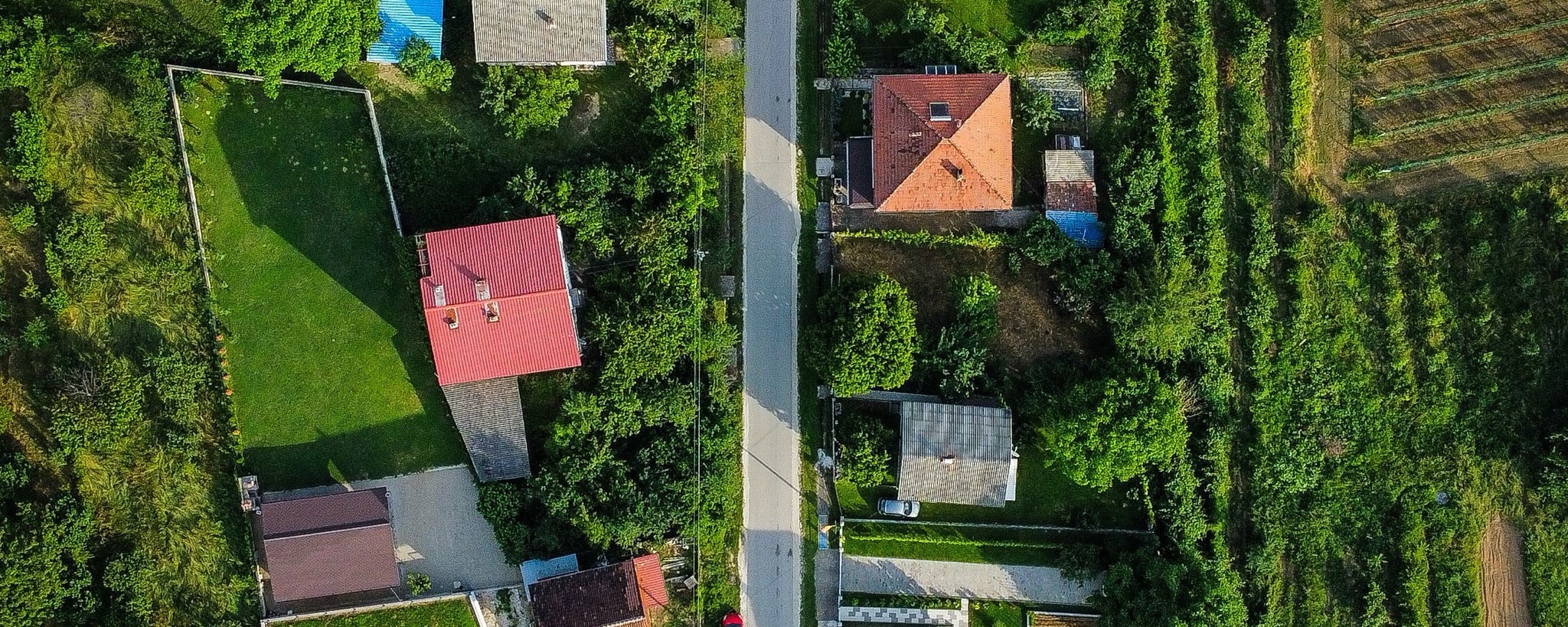
RESEARCH PATH AT A GLANCE
A faster first screen, with clear limits.
Dates, fees and service estimates are from official public sources. Confirm current requirements when your property decision is active.
Upgraded map launched
Wellington County · 2026
Property Information Report
Town of Erin · retrieved September 14, 2026
Municipal processing estimate
Town of Erin · business days
“A map should narrow the questions—not settle the transaction.”
Michael Houlder, REALTOR®
A property map is useful because it makes questions visible. It is risky when a coloured line, a label or a nearby application is treated as the final answer.
Wellington County launched an upgraded Explore Wellington public mapping system on August 18, 2026. The County says the new platform is faster, mobile-friendly and easier to search. It can locate addresses, street names and communities, display public data layers, measure distances and areas, and support sharing and printing. The previous version is scheduled to remain available only until September 30, 2026.
Those tools can make early research better. They do not replace the documents and professional conclusions needed for a property decision.
What the map can do well
Start by locating the parcel and its surroundings. Use the public layers to identify the questions that may deserve closer review: zoning, nearby planning activity, roads, water features, conservation screening or the relationship between buildings and lot boundaries.
Measurement tools can help a buyer or seller understand scale and orientation. They should not be treated as a survey, a legal boundary or proof that a use is permitted.
The Town of Erin's own zoning workflow makes this distinction clear. The Town directs users to obtain the property's zone using Explore Wellington, then read the requirements for that zone in Zoning By-law 07-67 and review the general provisions that may apply. The Town also notes that zoning provisions change periodically.
A four-step verification path
First, use Explore Wellington as the screening layer. Save the address, parcel context and questions that the map raises.
Second, read the current Town and County records that relate to those questions. That may include Erin's zoning by-law and current development applications, along with County-level planning applications. A proposal shown nearby is information to investigate—not proof of an outcome or a change in property value.
Third, request an address-specific municipal record when the answer is material. The Town says a Property Information Report can provide information about zoning, heritage status, outstanding permits, orders and more. As retrieved on September 14, 2026, the listed PIR fee is $78.95. Building and planning compliance letters are listed at $150, with an approximate processing time of 10 to 15 business days and no expedited process.
Fees, forms and timing can change. Confirm them with the Town when the decision is active.
Fourth, match the remaining question to the right professional evidence. Depending on the property, that may include a current survey, title review, municipal confirmation, a planner's advice, inspection evidence or legal advice. A REALTOR® can help organize the investigation; the appropriate authority or professional provides the conclusion.
Conservation mapping needs the same discipline
The Grand River Conservation Authority describes its online map as a screening tool. GRCA states that not every regulated area is necessarily mapped and that regulation may still apply when an area does not appear on the map. Where development, construction or site work matters to the decision, confirm the current position with GRCA.
That is the wider lesson: absence from a public layer is not always proof of absence.
For Erin-area buyers
Use the map before offer pressure begins. A few minutes of screening can reveal which records, conditions and professional reviews deserve time in the decision. If a question could change intended use, financing, insurance, renovation plans or future cost, do not leave it at the map stage.
The goal is not to investigate everything indiscriminately. It is to connect each material uncertainty to a reliable answer before it becomes expensive.
For Erin-area sellers
Run the same screen before the property is marketed. Gather the municipal records, surveys, permits and other evidence that can answer predictable buyer questions. If the file contains uncertainty, label it clearly and provide the route for verification.
Avoid turning a map layer, a nearby proposal or an assumed lot line into a sales claim. A defensible presentation explains what is known, what is pending and which source supports each point.
The practical conclusion
A map should narrow the questions—not settle the transaction. Explore Wellington is a useful first layer, and the upgraded experience should make that early work easier. Confidence comes from carrying the important questions through to address-specific records and the right professional conclusions.
If you are assessing a home, acreage or rural property in Erin or Wellington County, request a Property Decision Brief. I will help organize the available evidence, identify the unanswered questions and keep the next step proportionate to the decision.
EVIDENCE
Sources
- Wellington County — upgraded Explore Wellington GIS launch, August 18, 2026 ↗
- Wellington County — Explore Wellington maps and transition notice, retrieved September 14, 2026 ↗
- Town of Erin — Official Plan and Zoning By-law workflow, retrieved September 14, 2026 ↗
- Town of Erin — Property Information Reports and Compliance Letters, retrieved September 14, 2026 ↗
- Town of Erin — current development applications, retrieved September 14, 2026 ↗
- Grand River Conservation Authority — Map Your Property, retrieved September 14, 2026 ↗
DECISION LENS
What this means on each side
For buyers
Investigate with purpose.
- Screen the parcel and surroundings before offer pressure begins.
- Match material map questions to current records and the right professional.
- Treat distance tools, map lines and labels as clues—not legal conclusions.
For sellers
Make confidence easier.
- Run the same screen before marketing and gather address-specific records.
- Explain what is known, what is pending and where each answer can be verified.
- Avoid turning a map layer or nearby proposal into a value claim.